East Coast Drone Projects

Drone Inspection Services
Detail aerial photos to make informed & actionable decisions. Insightful, easy, and reliable drone services on-demand
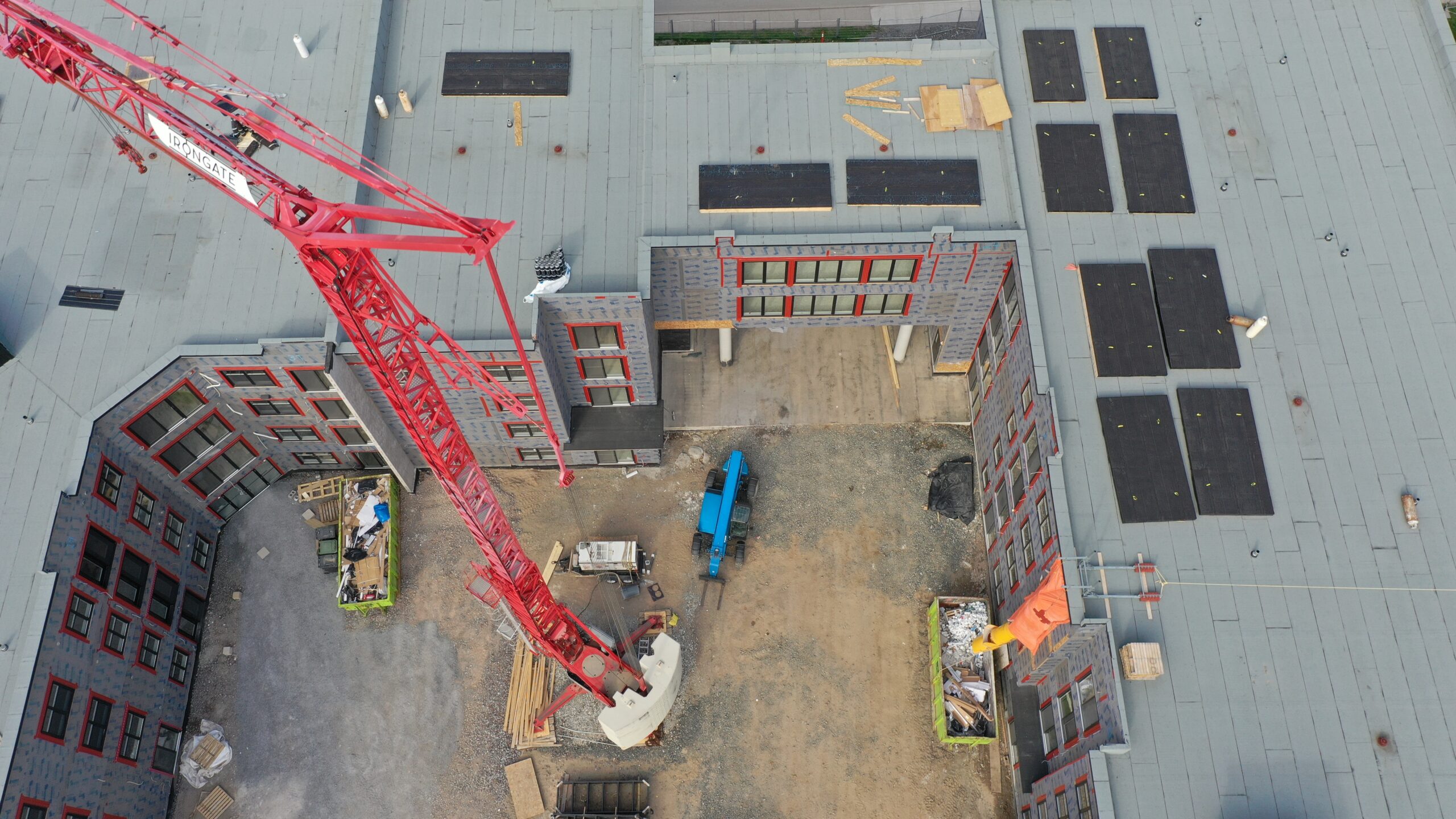
Construction site Monitoring
Track progress with monthly updates, collect valuable data, and showcase your completed work.
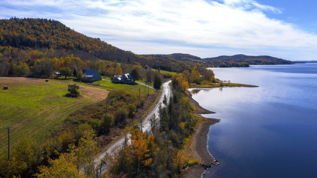
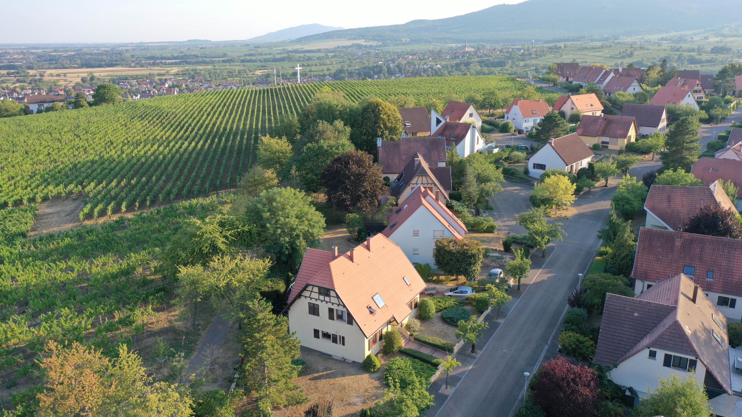
Aerial Survey
Capture hundred-acre properties with precision, detail, & accuracy. Calculate area, volume, and distances with high quality maps.
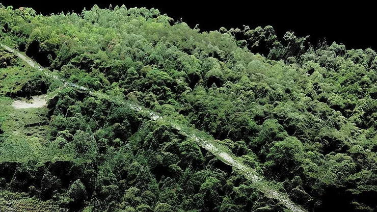
Data Captures
Produce interactive 3D models of construction sites and commercial properties. Make valuable measurements & calculations for data-driven decisions
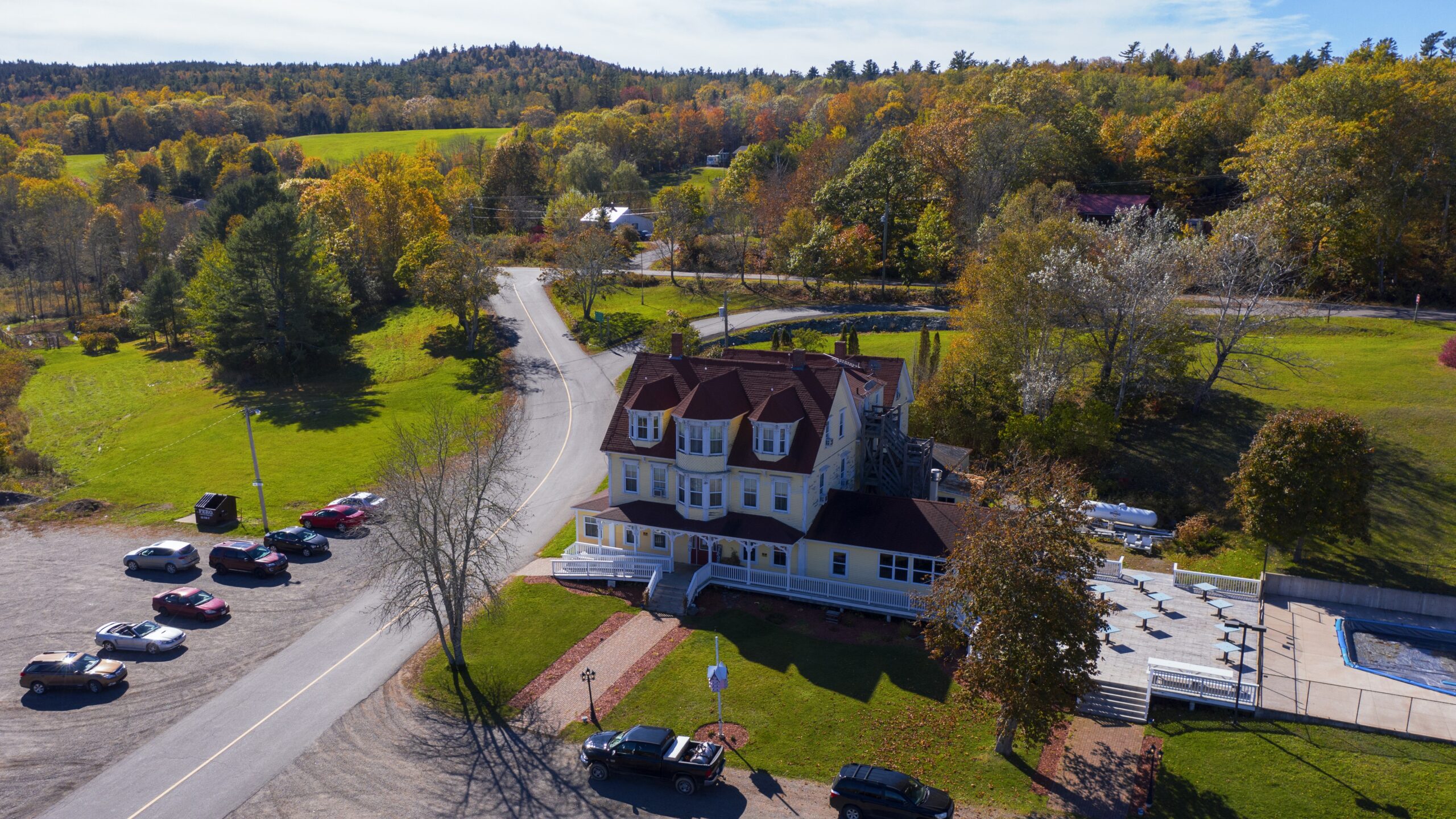
Commercial Real Estate
Highlight property locations, popular proximate retailers, and nearby highways..
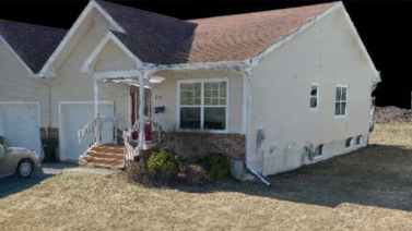
Residential Real Estate
Quicker sale with aerial imagery. Showcase your property from beautiful angles and attract premium buyers.